
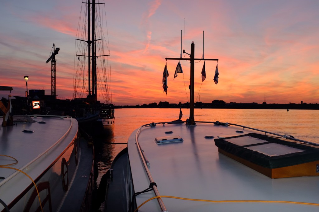
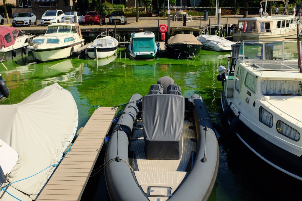
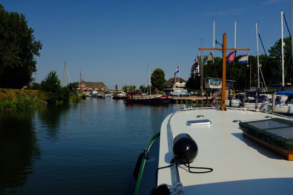
Zeeland is located in the south western part of the Netherlands and as its name suggests is a land of the sea, being made up of islands and estuaries. We travelled through Zeeland on our journey back to our winter port in Brugge. Our first stop on this part of the journey was Oude Beigerland on the tidal river Spui. Yep, beige and spew is an app description. Not much report here, except green blue algae in the harbour and a beautiful sunset
We left early the following morning to cruise with the tide to the Haringvliet and the town of Hellevoetsluis. Now I think that it’s important to describe the water management that has been achieved by the government of the Netherlands in this area over the centuries and decades. Just as in North Holland it was imperative to close off the access to the North Sea to control the threat of flooding, it was just as imperative not only to control flooding from the sea, but to build dykes to prevent flooding from the major rivers of the Meuse, Scheldt and the Rhine that form this delta. With large parts of the province below sea level, over the centuries land was reclaimed from the sea. What used to be a muddy landscape flooding at high tide became a series of hills that remained dry. Overtime these hills were connected by dykes to create the form that we recognise today.
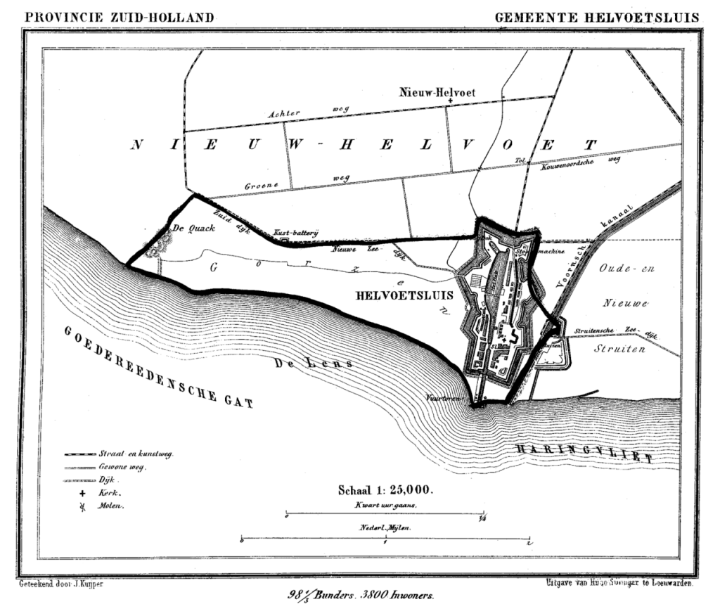
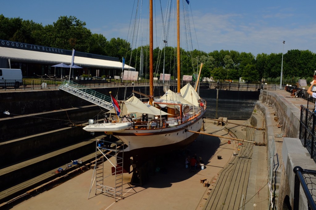
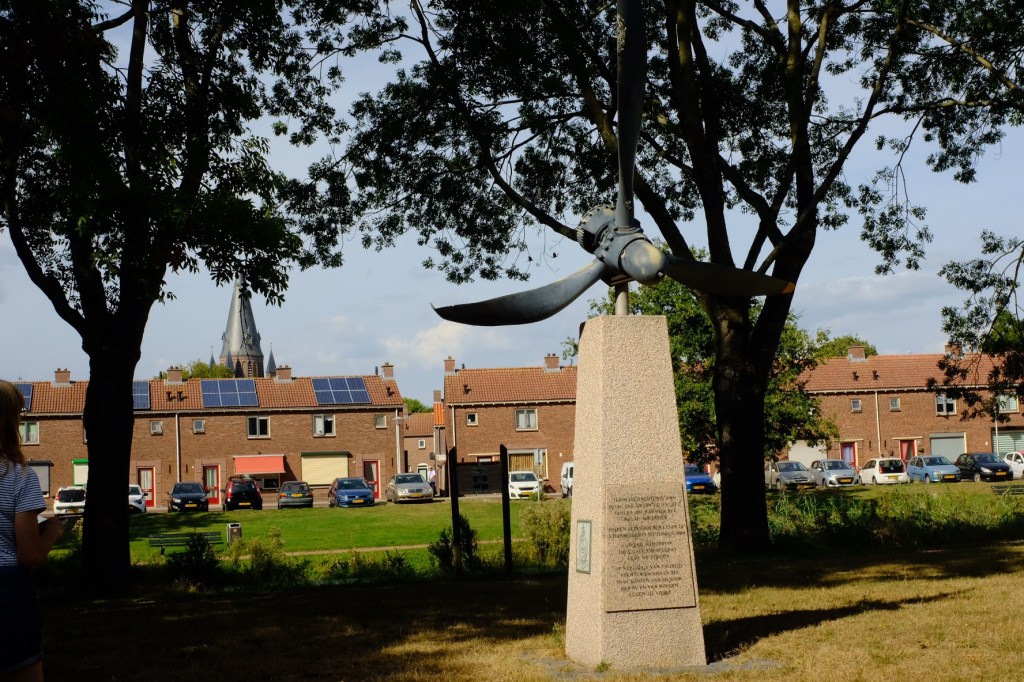
After the last major flood in 1953 the Delta Works plan was initiated, consisting of the construction of dams, sluices, locks, dykes and storm barriers and along with the ZuiderZee works in North Holland is considered one of the seven engineering wonders of the modern world. Unlike the ZuiderZee works the object of this plan was not land reclamation, but protection. The work commenced in the 1950’s and consisted of the blocking of the estuary mouths of the Harlingvleit, Grevelingen and Oosterschelde from the North Sea. The mouths of the Nieuwpoort Waterweg that leads to Rotterdam and the Westerschelde that leads to Antwerp remained open as they were important shipping channels. So back to our journey. Access to the sea by the Harlingvleit estuary was cut off by the Harlingvleit dam as part of the delta plan, creating a fresh water lake and the port town of Hellevoetsluis which was an important fortified port no longer had access to the sea.


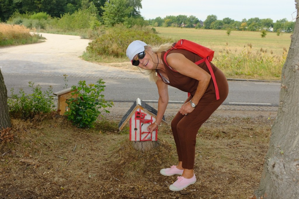
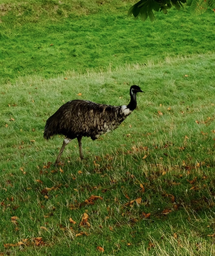
Leaving Hellevoetsluis we travelled back along the Harlingvleit to our next town, Numansdorp, which does boast an old fort, unfortunately closed. But we did manage to find other amusements.

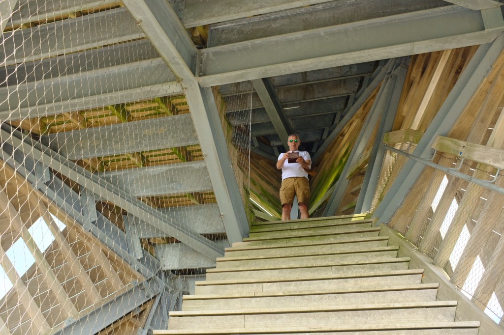
Second day in Steenbergen resulted in a bike ride out to Fort de Roovere. This is an earthen fort that is part of the Dutch waterline, a series of water based defences built to defend against the Spanish attackers in the 1600s. The fort was abandoned at the end of the napoleonic wars but subsequently renovated in 2010 as a tourist attraction


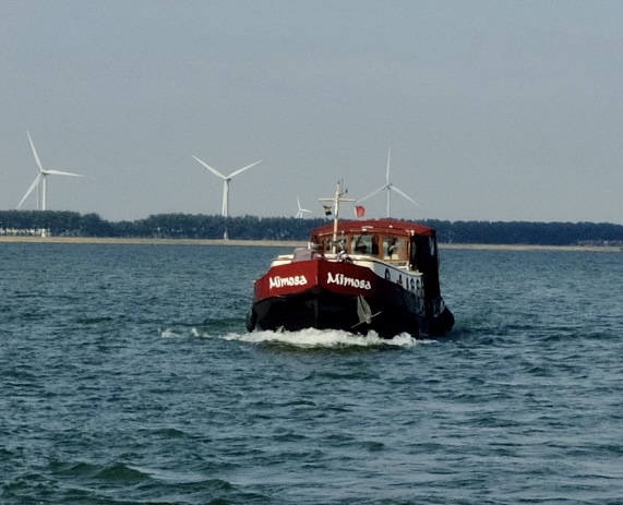
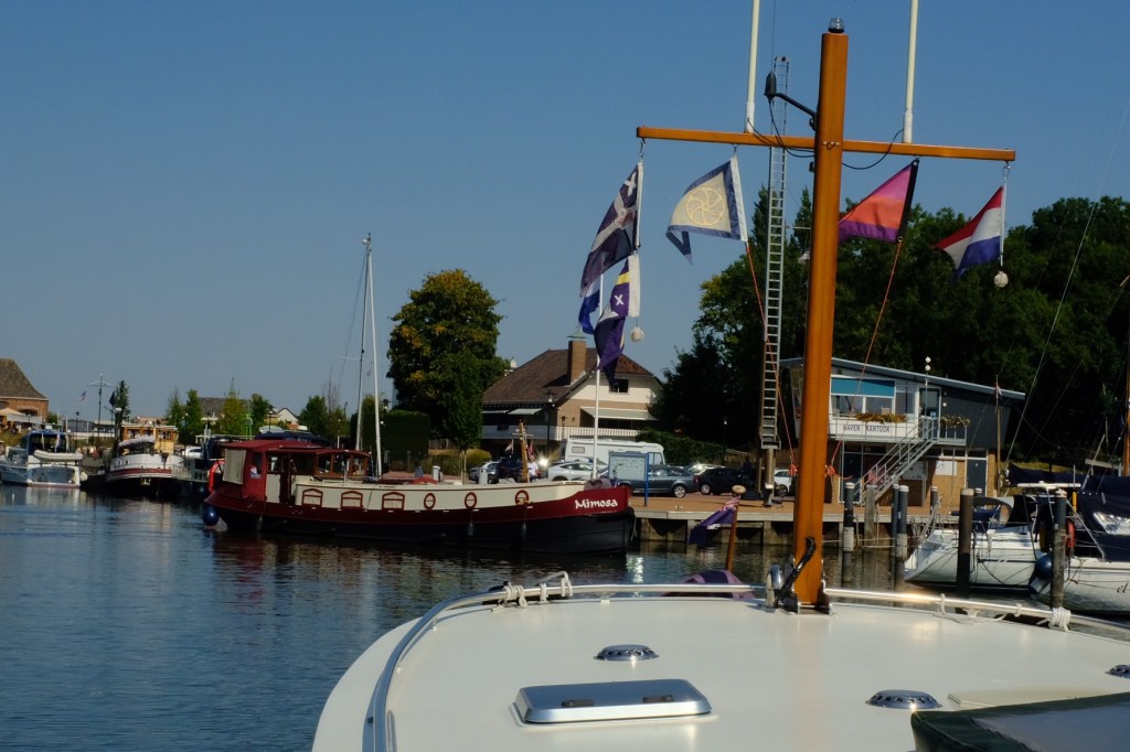
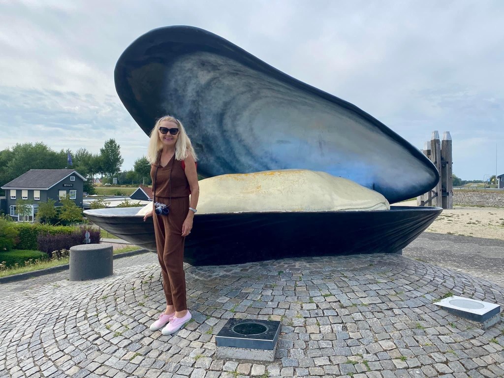
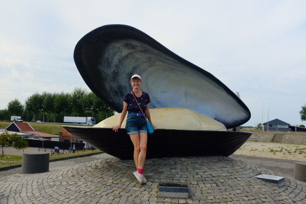
The Grevelingen waterway was originally cut off from the sea and became a brackish inland lake. In 1978 the Dutch opened to sluices to allow saltwater back in. The Browersluice is open all year round, except in storm floods to create the largest saltwater lake in Europe and is known for its mussel and oyster farms. We motored along the Grevelingen to our next town, Bruinesse


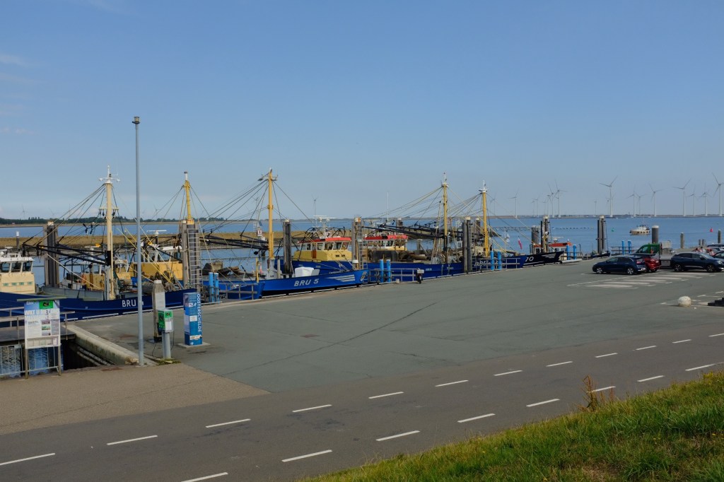
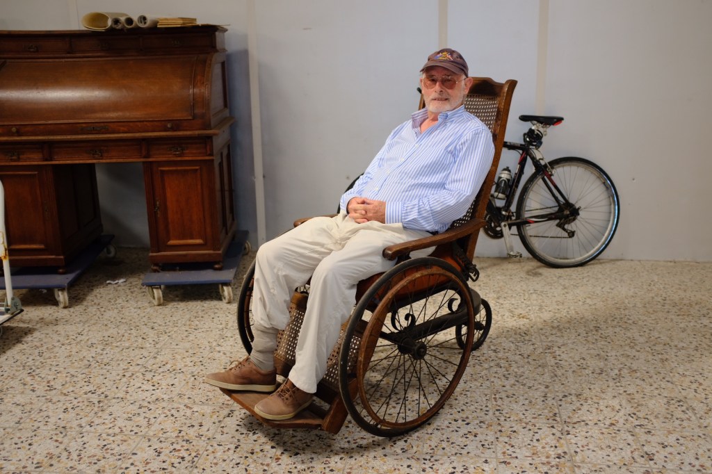
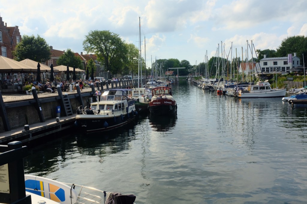
It was only a short hop to our next town on the Grevelingenmeer, Browershaven and a few more discoveries of this historically rich area.

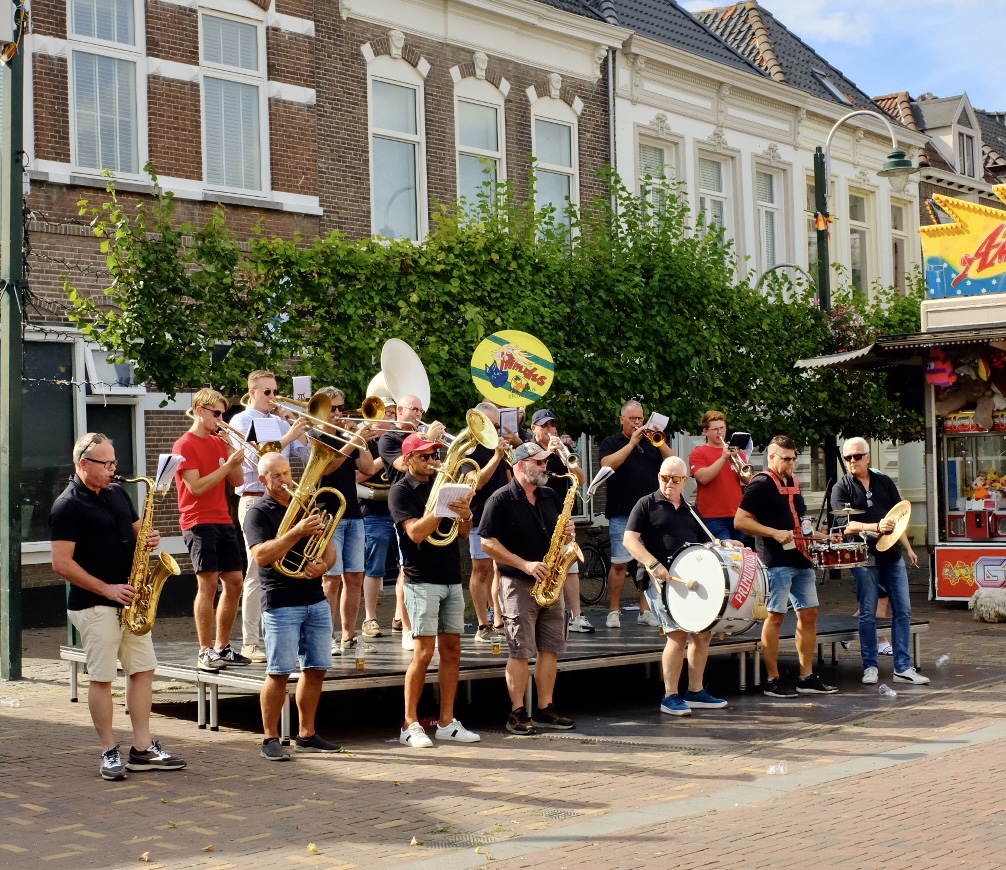
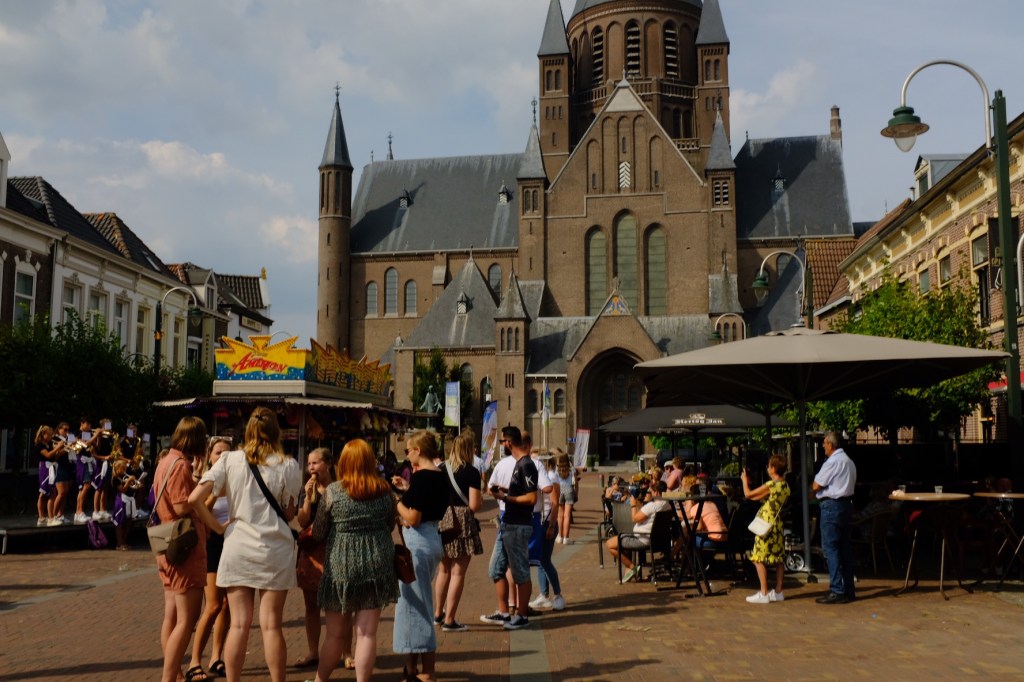
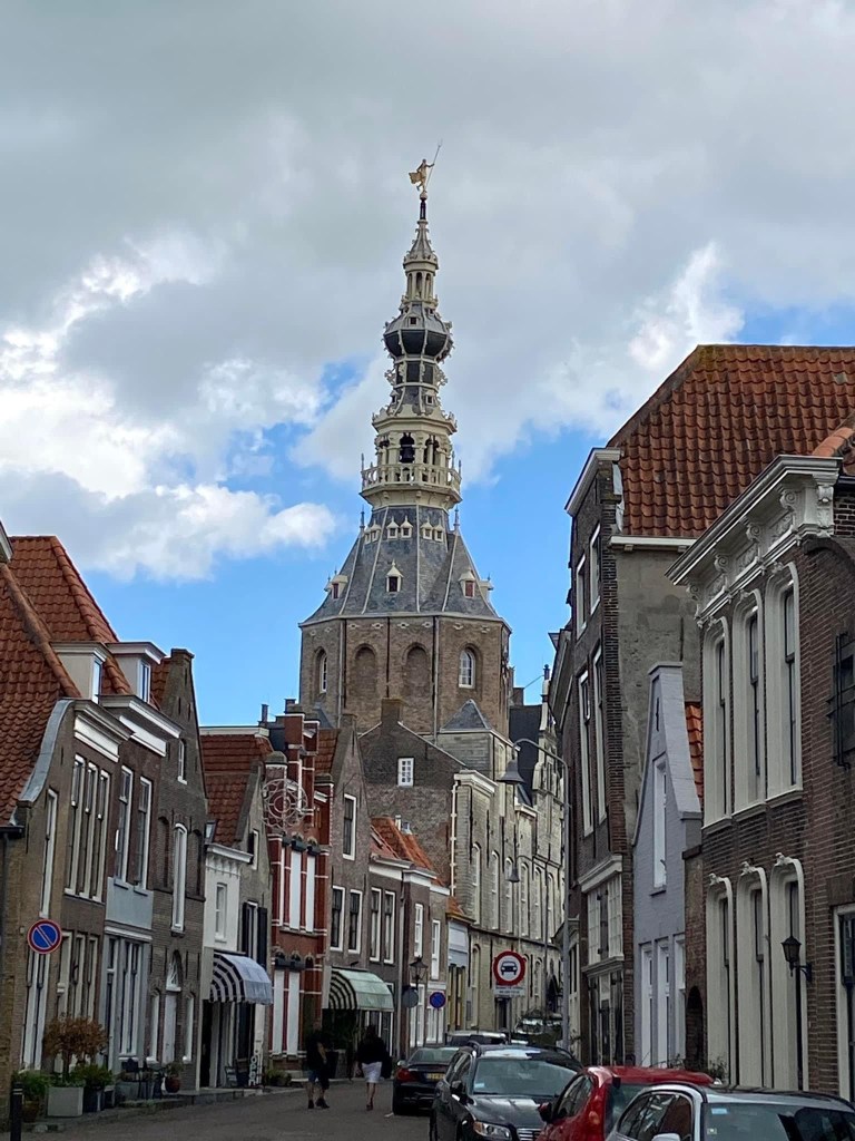
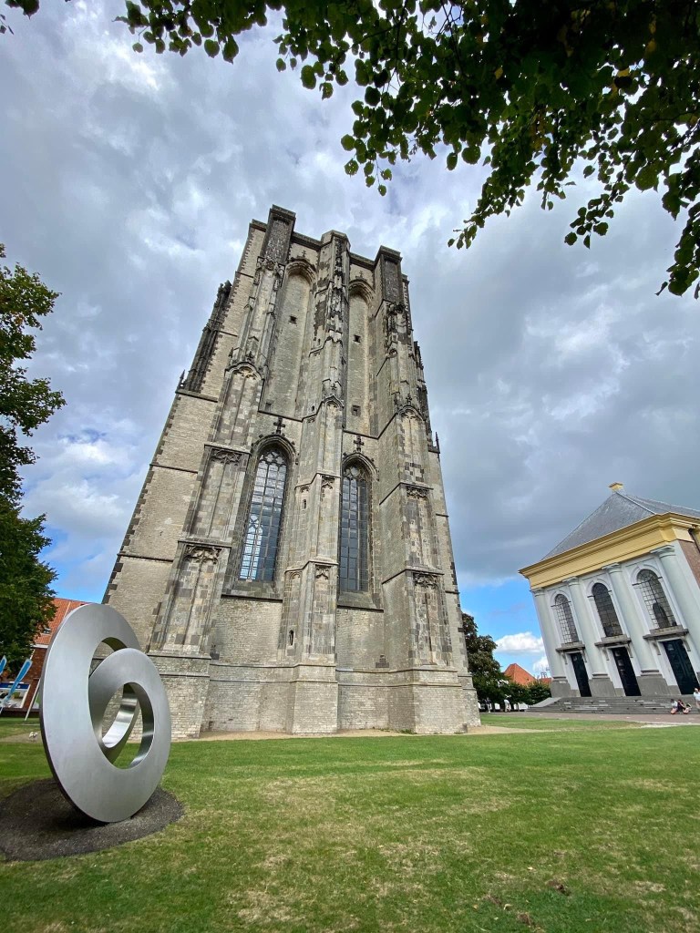
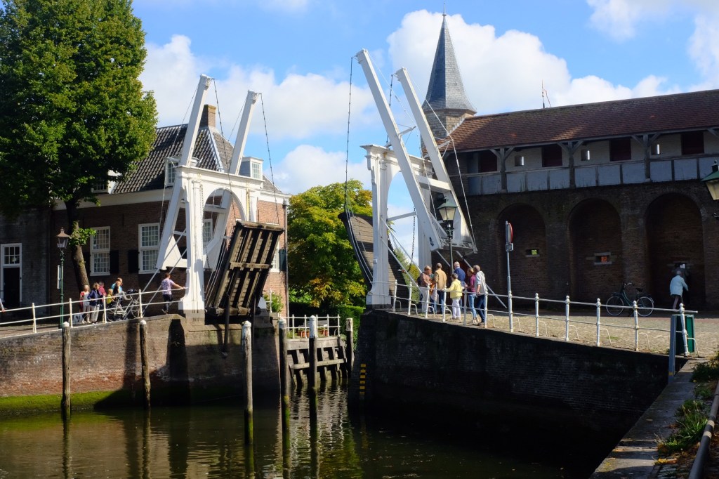
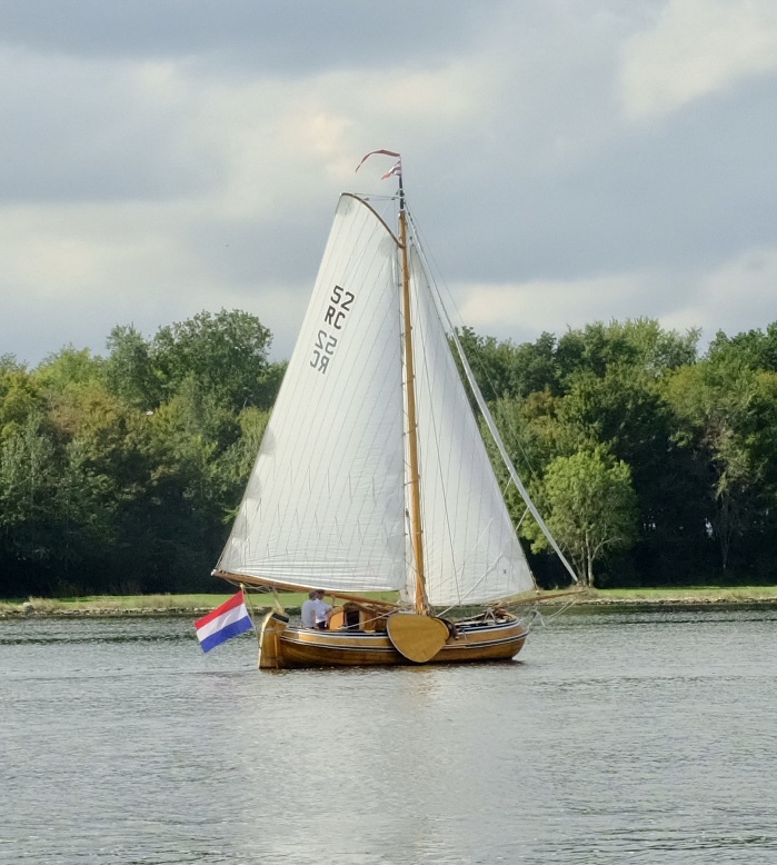
Every sailor worth their salt keeps a very keen eye on the weather. And so for bargees, especially when in open water, due to the fact barges, although they have a keel box, it cannot be described as a proper keel and they have very little freeboard. So reviewing our weather apps, the forecast was for the wind to come up in next afternoon. Our planned route was back along the Grevelingenmeer to the Oosterschelde and the town of Zierkerzee. We had travelled along the Oosterschelde in a bit of wind last year, and it was not a pleasant experience. So that said we were up early in the morning to beat the wind. Well we didn’t quite beat it but at least we had covered a fair distance when it came in. There is always a collective sigh of relief when we leave the open water a duck into a calm canal. We held up in Zierkerzee for 3 nights waiting for the weather to improve. But there was plenty to see!

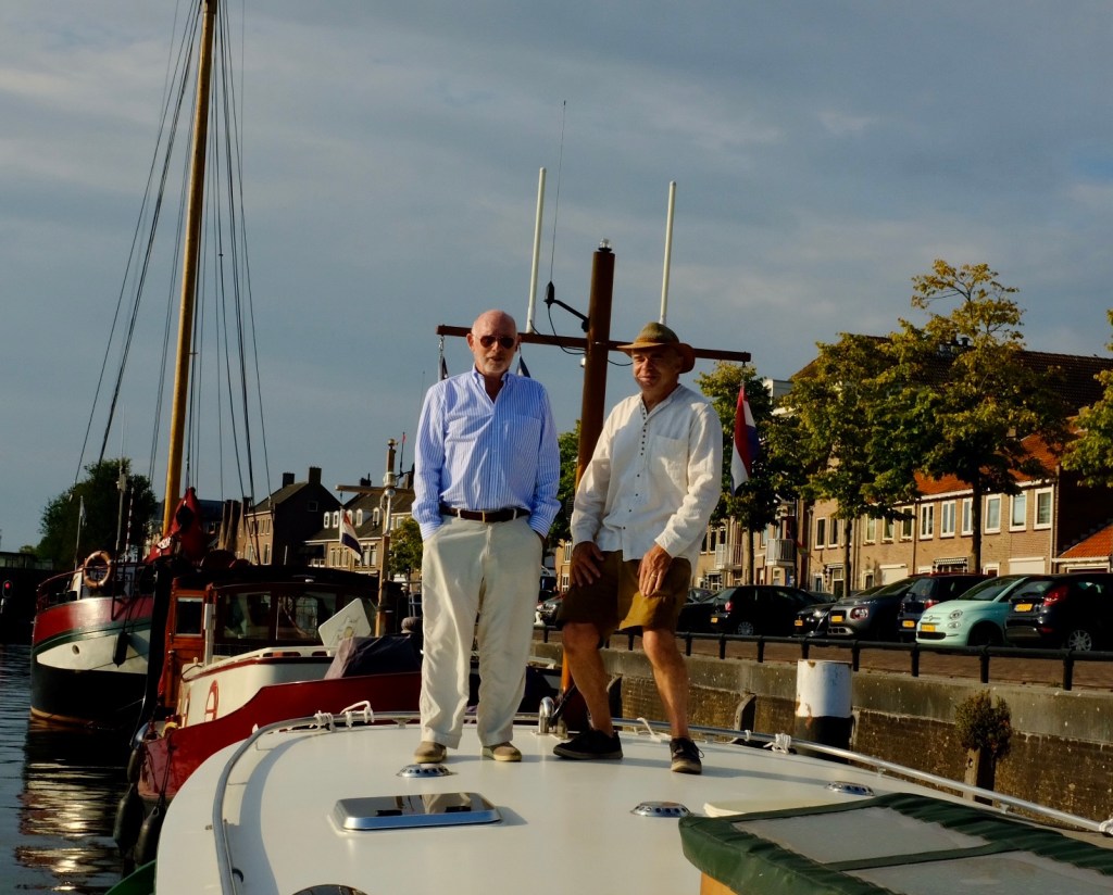
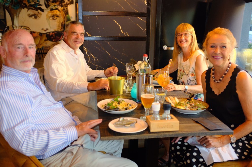
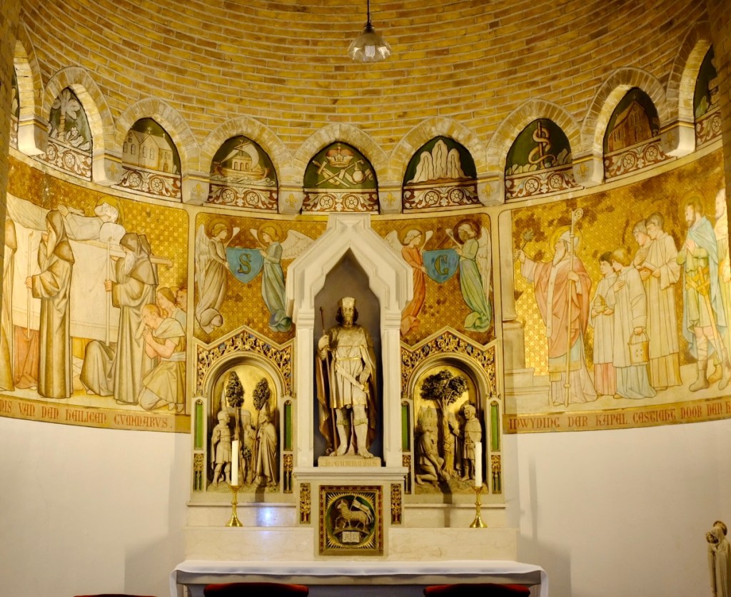
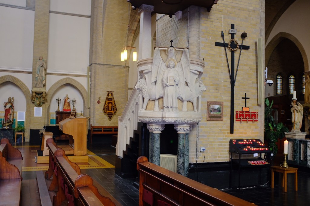
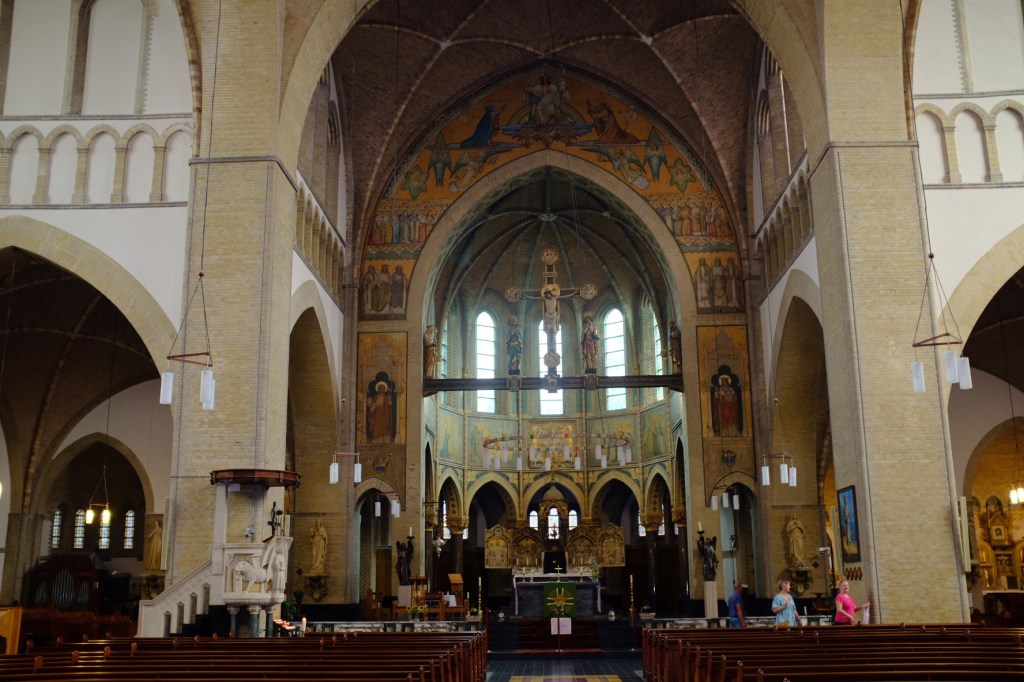
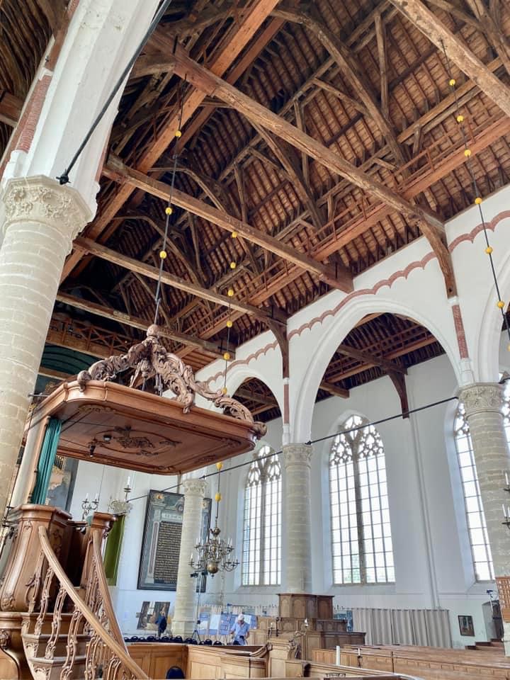
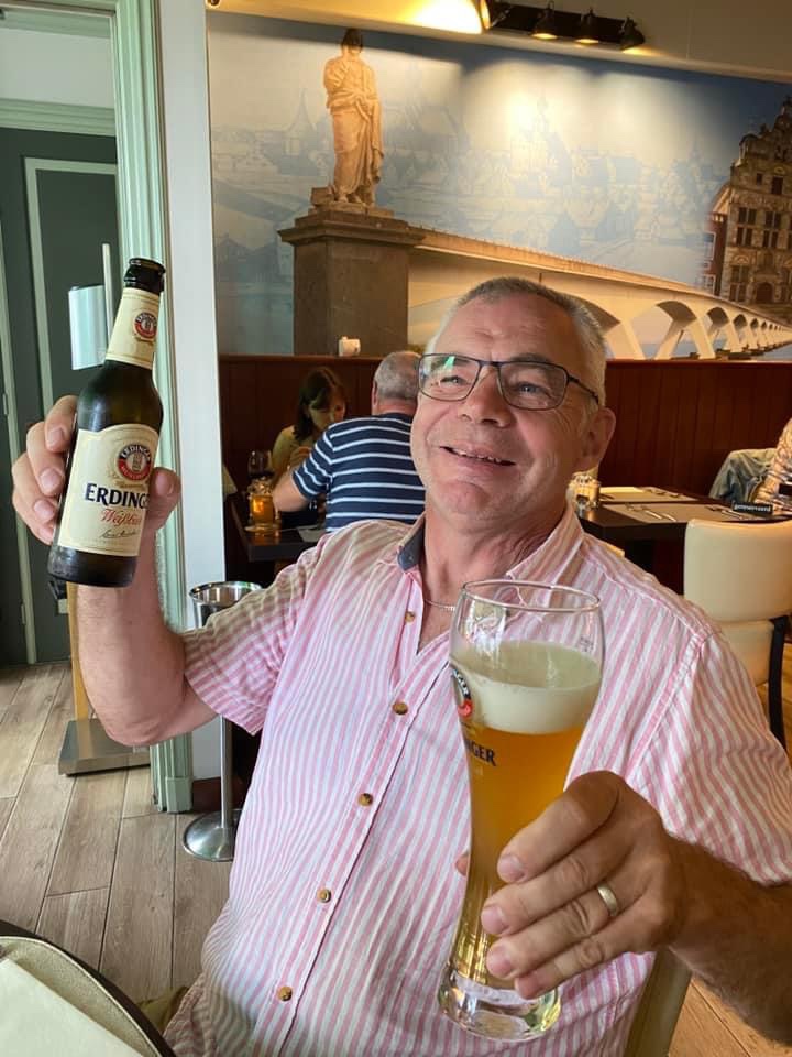
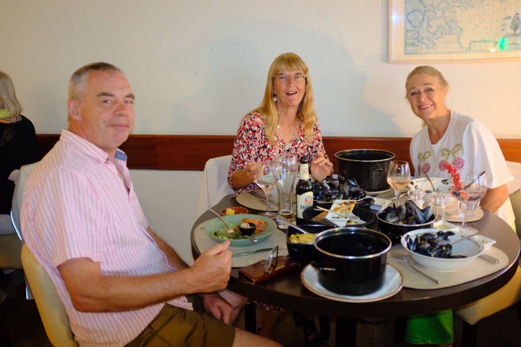
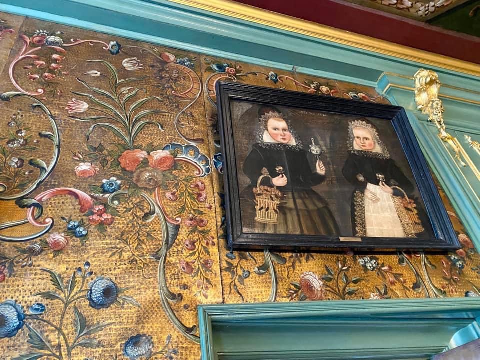
Another advantage of cruising with friends is the division of shopping/sightseeing. With the pairing of Mimosa and Joie de Vivre I don’t have to bore Peter by marching him through churches and museums and he doesn’t have to bore me by dragging me to chandlers and hardware stores. Instead Julie and I share the visit to cultural sights, while Peter and James explore the curiosities of the boys only shops!


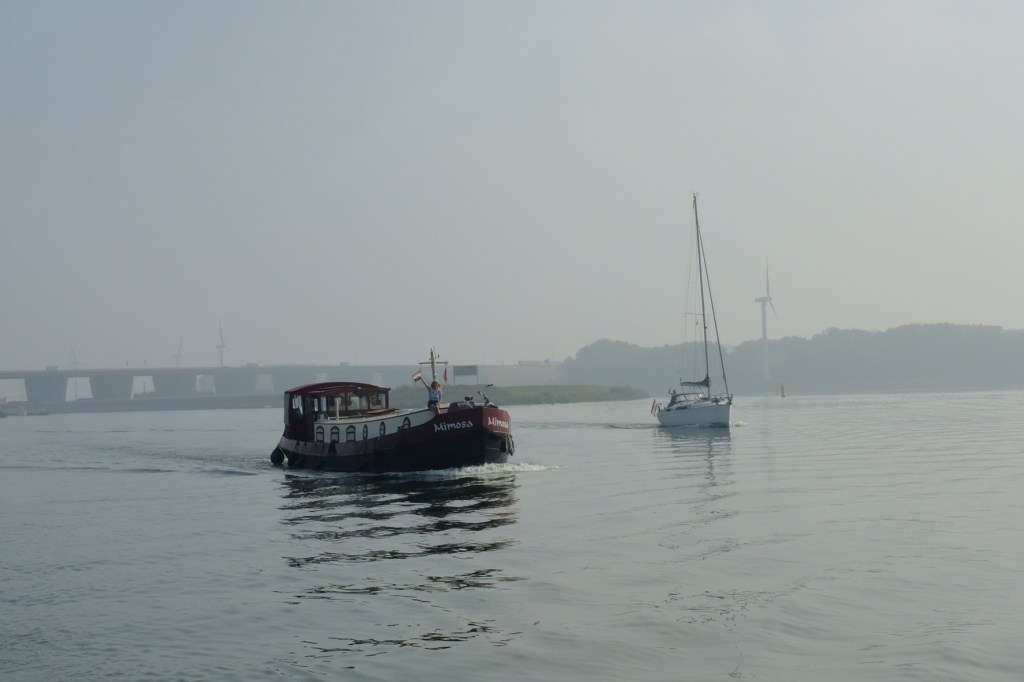
With the weather on the improve we set out along the Oosterschelde to the Veersemeer and the town of Veere. The Oosterschelde is protected from the North Sea by a 9km dam that incorporates 4km of storm surge barriers. These barriers, only closed during storm surges have maintained the salinity of the natural environment. The other spectacular feature of this waterway in the 5km Zeeland bridge, the longest bridge in the Netherlands. It was on our outward journey from Zierkerzee that we were able to admire the bridge, as the first crossing was during inclement weather that gave little time for photos.


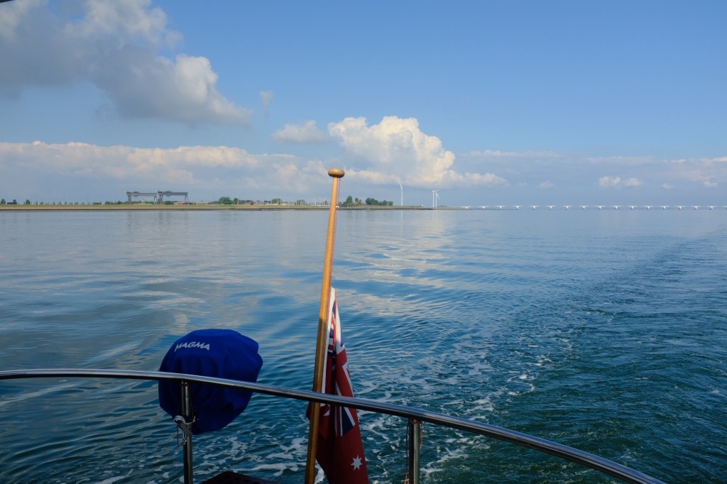

We were now closely watching the weather as the next estuary to cross was the Westerschelde which is the shipping channel open to the North Sea.

Leave a comment