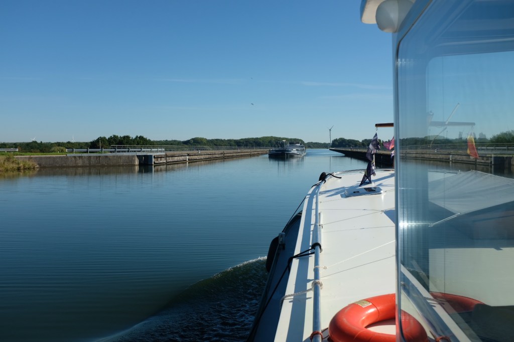
The canal de Sensee was a project developed under Napoleon to link the river Scarpe to the Escault (which in Belgium becomes the Schelde), specifically for the transportation of coal. This commercial canal is 15kms in length, with no suitable moorings. Once we exited the canal we were on the Escault, with another 22kms to Valenciennes and our mooring for the night.
On Sundays mostly everything in French towns shuts down and this included the port in Valenciennes. With no harbour master in sight we could not access the power or exit the marina on foot. Luckily some of the local residents took pity on us and signed us into the power and even gave us access to the water supply!
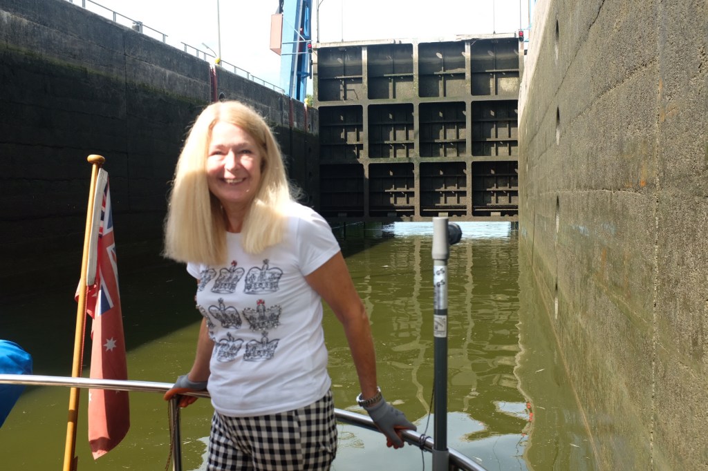
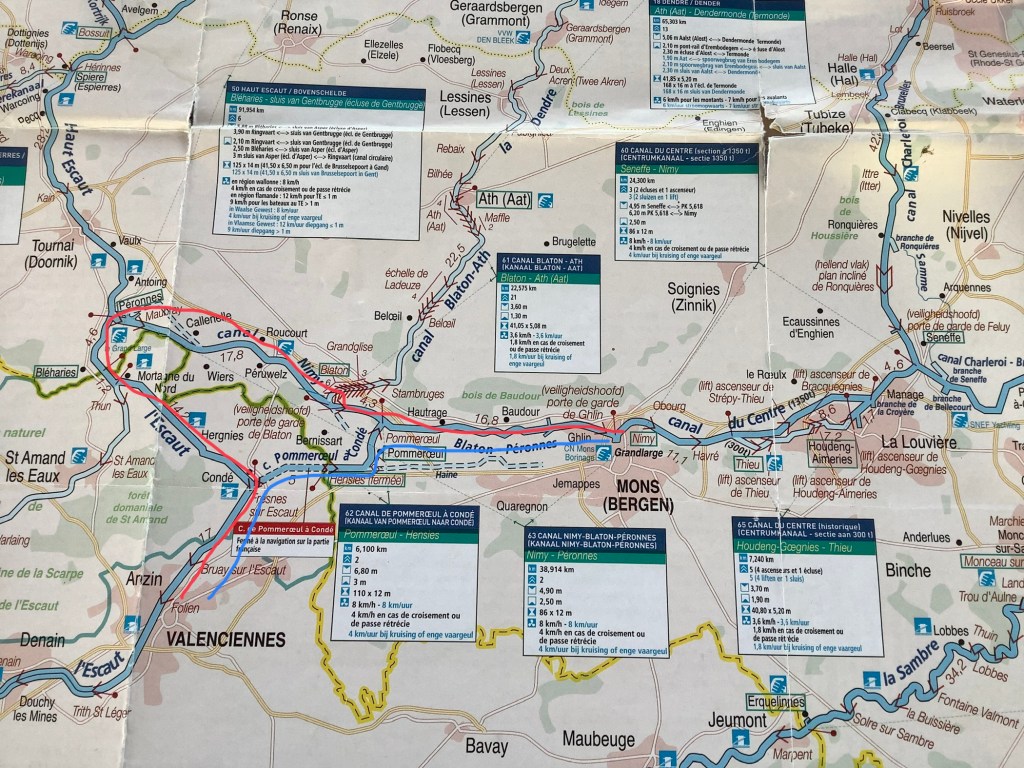
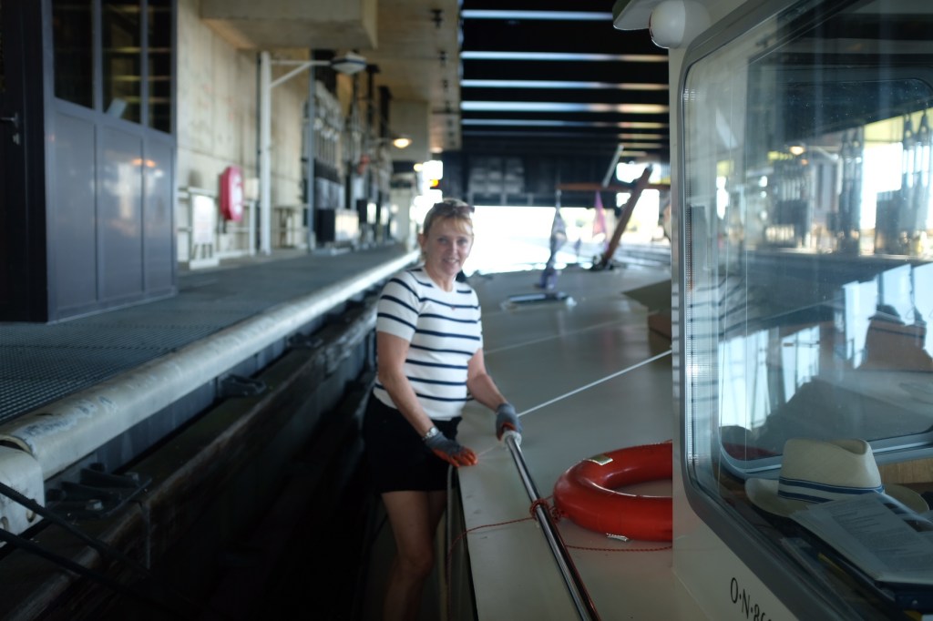
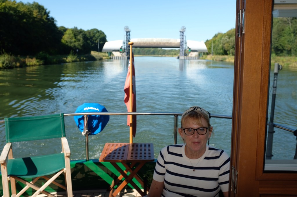
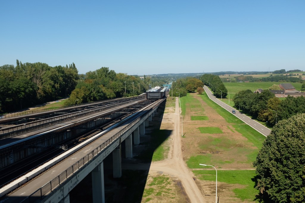
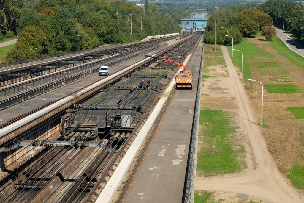
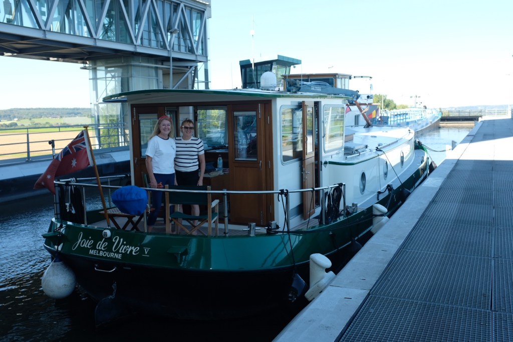
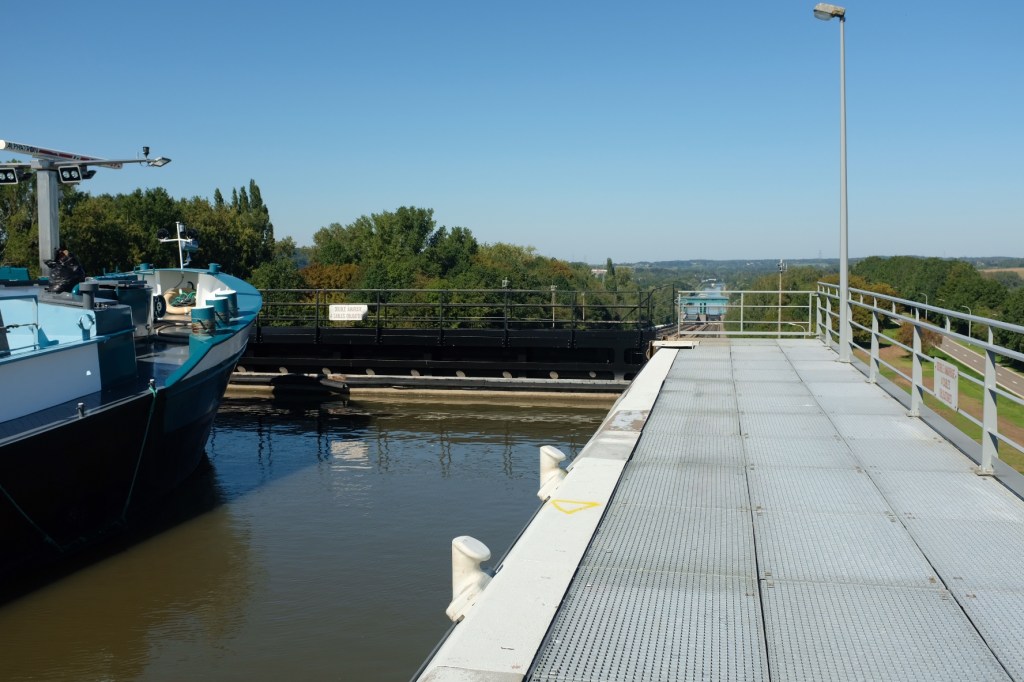
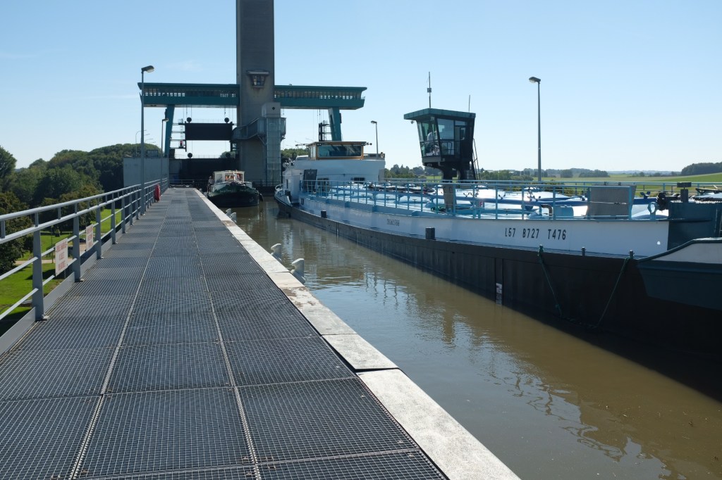
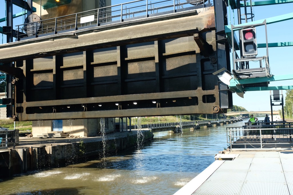
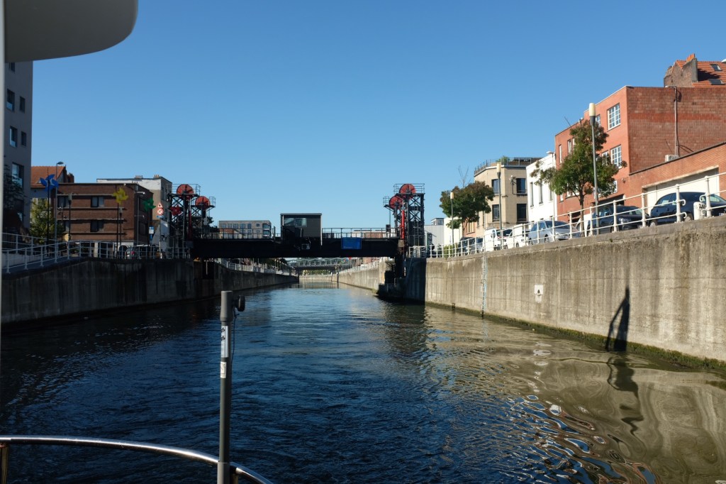
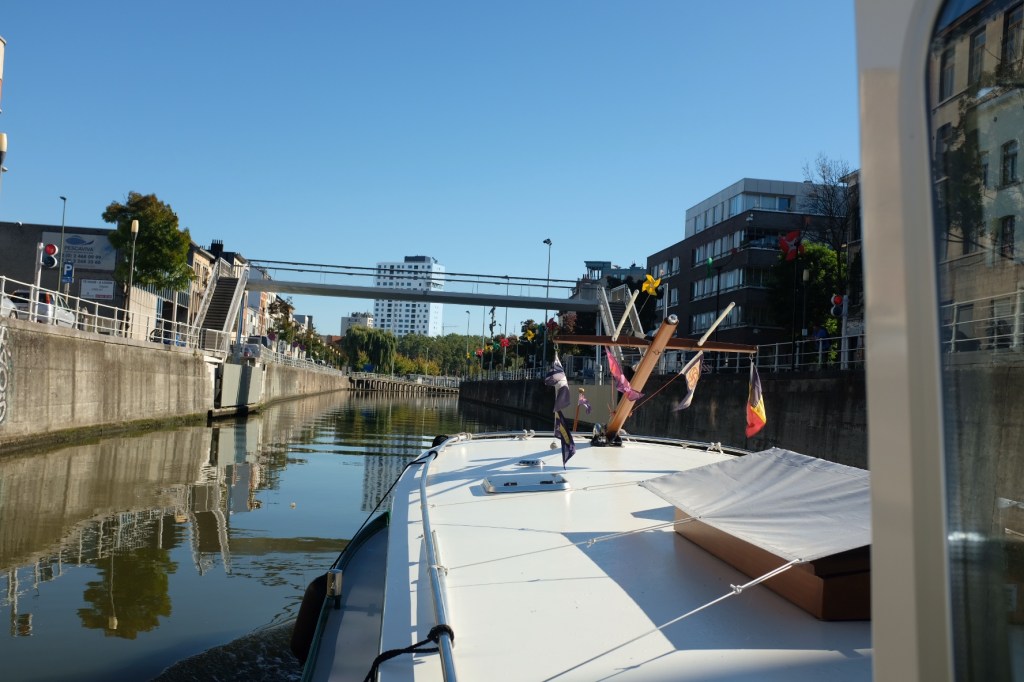
No longer in the land that holiday dreams are made of. Now on the commercial canal with deep locks and commercial trafficFrom Valenciennes we had the option of 2 routes to take to Mons on the canal du Centre. The red line indicated the route turning left at Conde to Peronne in Belgium then navigating to the Nimy canal to the Canal de Centre. A distance of 75.9kms. The blue line indicates the route turning right at Conde to the Pommeroeul canal then to the Canal du Centre, a distance of 44.9kms. The choice was obviously a no brainer, but the question was if the Pommeroeul canal was open. And I could find no clear answer to this question. Built in 1980 the canal silted up on the French side in 1990. The Belgiums have kept their end open but the French are still working on the dredging with no clear date when this will be finished. It was only when we reached the lock at Conde that we discovered the short route was not a viable option. Given that we average a speed of 9kms per hour, with 3 locks to navigate it was a very long, tiring day. Luckily there were 3 of us to share the driving.Now on the canal du Centre, we left Mons early with the Strepy Thieu boat lift and once we hit the Charleroi Brussels canal, the Ronquieres incline plane , ahead of us. Our destination of Brussels was still 70 kms away.The forth trip for Joie de Vivre but a first for Margaret, we entered the lift to be transported 73 metres up the side of the hill which disrupts the flow of the canal. I still remain in awe of this engineering feat.Now at the summit we would commence the trip down towards Brussels. The next obstacle on the canal was the Ronquieres Incline planeThe incline plane was opened in 1968 and was built to replace 14 locks on the Charleroi Brussels canal. It is 1,435 meters in length and has a vertical rise of 67 meters. It has two caissons each with a 5,200 ton counter weight, that runs in a trough between the rails. Over recent years, the Ronquieres has been continually plagued with breakdowns. In 2019 we were delayed in Brussels for 5 days while work was done to rectify such a breakdown. Yes, I did ring to check that the Ronquieres was open that morning, and was given a positive response. But when we arrived around lunchtime the lock keepers were working on a breakdown, which we were told would be rectified within a few hours. Luckily there were only 2 smaller commercials waiting to go through, so I could organise to accompany one of them.On the move at last, we chugged down the hill at 1.2 meters per second, the whole journey taking about 20 minutes. With this delay we realised we would not make it to Brussels that day, so we stopped at the town of Halle for the night.The canal runs through Brussels and there are about 8 lifting bridges, but the comparison to the trip through Paris on the Seine to the trip through Brussels by boat is chalk and cheese! Arriving at the Brussels Royal Yacht Club it was dinner in the club house and time to relax from our mad dash north


Leave a comment